- Join OSM US Slack.
- Join the
#stadia-mapschannel.
Mapping Infrastructure v2 Release
After months of painstaking development, testing, data gathering, deployment and a few seconds to flip the switch, we are pleased to announce Stadia's mapping data infrastructure, version 2!
Shortly after starting Stadia Maps in 2017, we realized our method of processing, development, and deployment of mapping data was limited. We could not deliver the quality maps our customers need or our inner perfectionists demand. We wanted to quickly deploy updates and iterate on designs to make our maps more useful and beautiful. We wanted to add new features without months of lag from testing to production. Ultimately, we wanted a platform that would allow us to deliver an improved mapping experience every single day. So last year, we began investing in a new mapping infrastructure that could deliver all the features we hoped for (plus a few new ones we’ve discovered along the way). To accomplish that, we needed to control the pipeline all the way from ingesting source data to displaying the maps for our users.
As of today, our dream is reality and your maps are getting loads of improvements, all because our mapping data is delivered from a pipeline 100% managed by us.
Improvements
Data Updates
We are now delivering data from early August 2019, and plan to deliver at least monthly updates to our underlying mapping data to allow you and your customers to have the latest data possible.
Improved Language Support
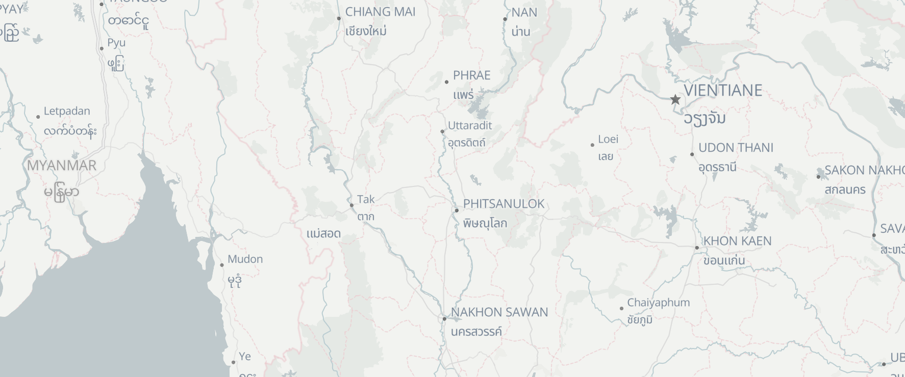
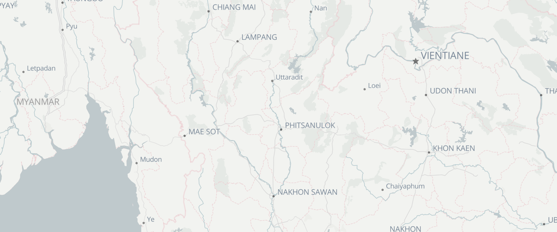
We’ve added support for many new languages in our themes, and we have plans to add another major source of data to extend our language coverage to as many places and languages as possible. We’ve added the following languages and scripts to our themes (in alphabetical order):
- Armenian
- Bengali
- Devanagari
- Ethiopian
- Georgian
- Hebrew
- Khmer
- Lao
- Myanmar (Burmese)
- Tamil
- Thai
If you know of any language or script we don’t currently support, please let us know!
Extended National Park and Nature Reserve Coverage

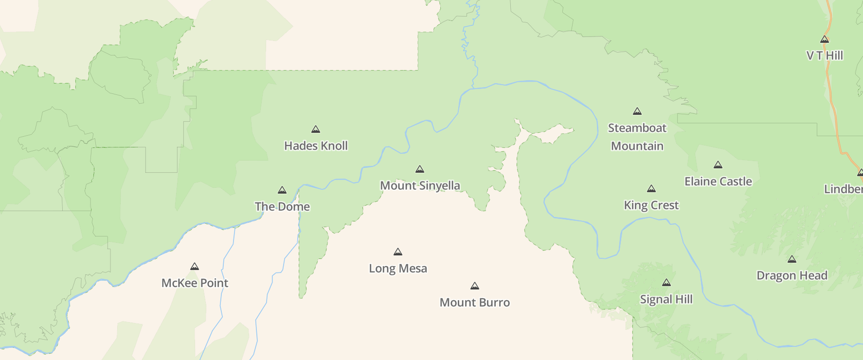
We believe our Outdoor theme is critical for our customers who focus on everything that happens outside the confines of a car or building. Until today, the Outdoor theme was missing a pretty critical piece of data: labels for national parks and official nature reserves—the places we all enjoy hiking, biking, swimming, or just soaking in the aura of nature.
We also updated mountain peaks to include elevation data (where available), and we made small tweaks to display mountain peaks more often and with somewhat better selection based on relative importance. (We believe there’s still room to improve this further in later updates.)
Now you and your customers can go forth and enjoy nature—with full awareness of what to call the place they are enjoying it.
Improved Bay and Water Label Visibility
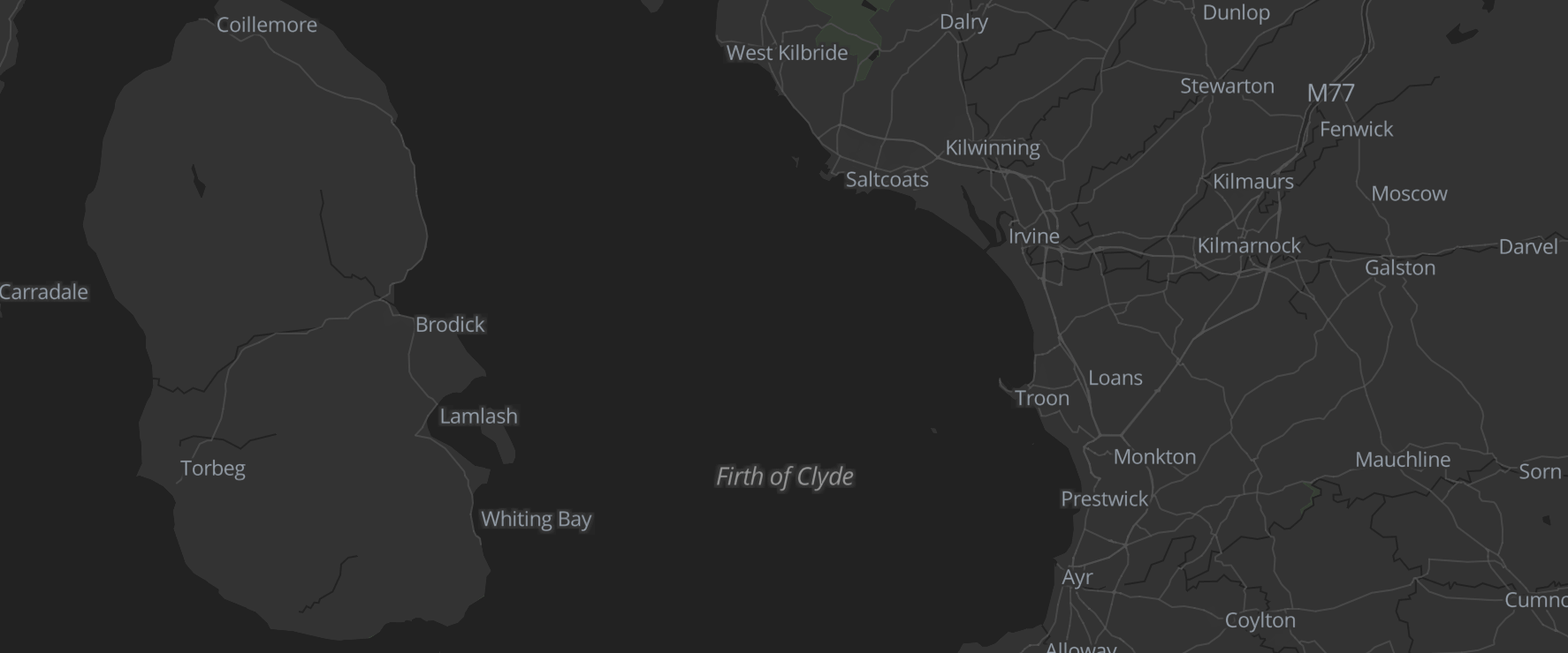
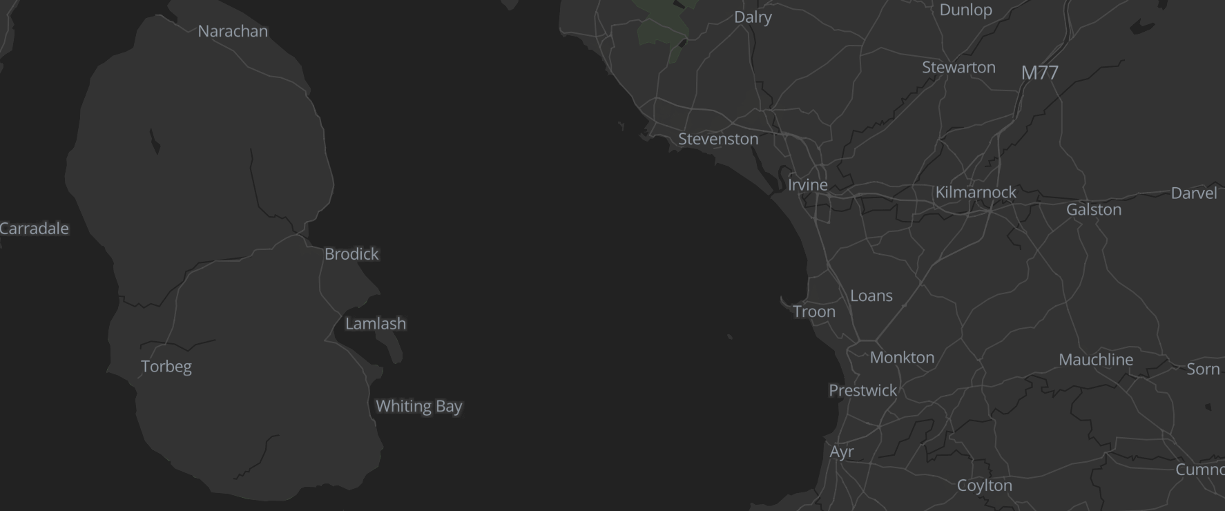
Another important piece of location awareness is out to sea—more specifically, bays and other smaller bodies of water. We’ve added labels for smaller bays and waterways to make that favorite lagoon a bit easier to find.
What’s next?
We have a lot of updates on the heels the new pipeline. Because it allows quick iteration, we plan to add the following data to our core data and themes as appropriate over the next few months:
- Ocean Bathymetry
- Contour lines
- Hillshading
- …and more!
We will soon be releasing our geospatial APIs (starting with elevation and time zones) and offer improved routing for bicycles based on the elevation data. We’re also hard at work developing our enterprise level plans to meet even the most demanding business needs.
Talk to us!
And we want to hear from you! If there’s anything you need to make your mapping experience more fantastic, just let us know. We’re always ready to help and answer your questions at support@stadiamaps.com or your favorite social channel (links in footer).
